File:York Region Transit route 420 map (2005).PNG
Jump to navigation
Jump to search

No higher resolution available.
York_Region_Transit_route_420_map_(2005).PNG (427 × 283 pixels, file size: 102 KB, MIME type: image/png)
Summary
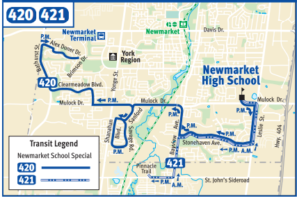
YRT route 420 map as of 2005.
File history
Click on a date/time to view the file as it appeared at that time.
| Date/Time | Thumbnail | Dimensions | User | Comment | |
|---|---|---|---|---|---|
| current | 00:21, 8 November 2020 | | 427 × 283 (102 KB) | Enzo Aquarius (talk | contribs) | YRT route 420 map as of 2005. |
You cannot overwrite this file.
File usage
The following page uses this file:
.PNG&oldid=511227)